Painted Course

Adare, Ireland

The Golf Course at Adare Manor

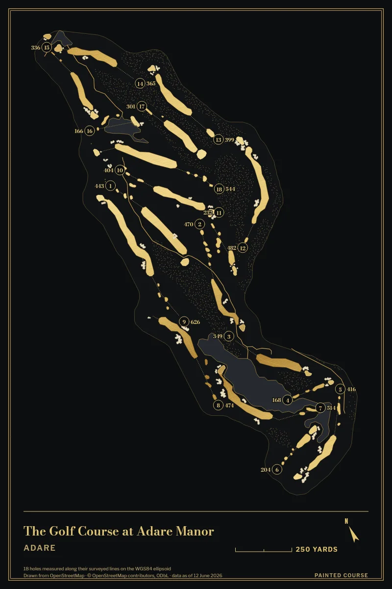
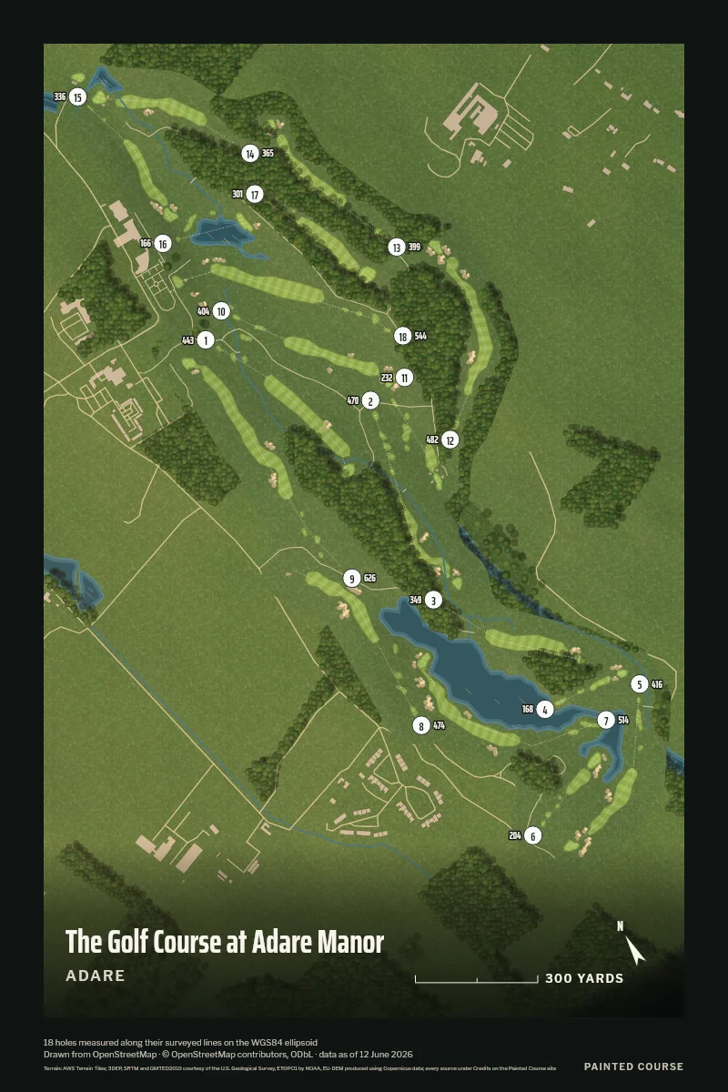
18 holes, 6,893 yards, from the first tee to the last green. We measured every hole on the map its volunteers drew, so you can hold the print up against your card.

Draw This Course

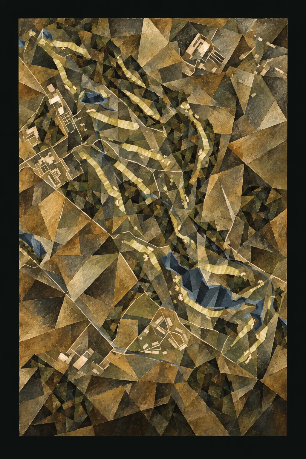
The Cubist Painting

The Golf Course at Adare Manor, Adare, Ireland, seen from above and painted in the Cubist manner after Picasso and Braque: the routing of its 18 holes, its greens and its bunkers, in paint.
Our Aerial drawing of The Golf Course at Adare Manor, repainted after Picasso and Braque as a digital painting made by an image model. Every green and bunker stays where it lies on the course.

Paint Your Hole

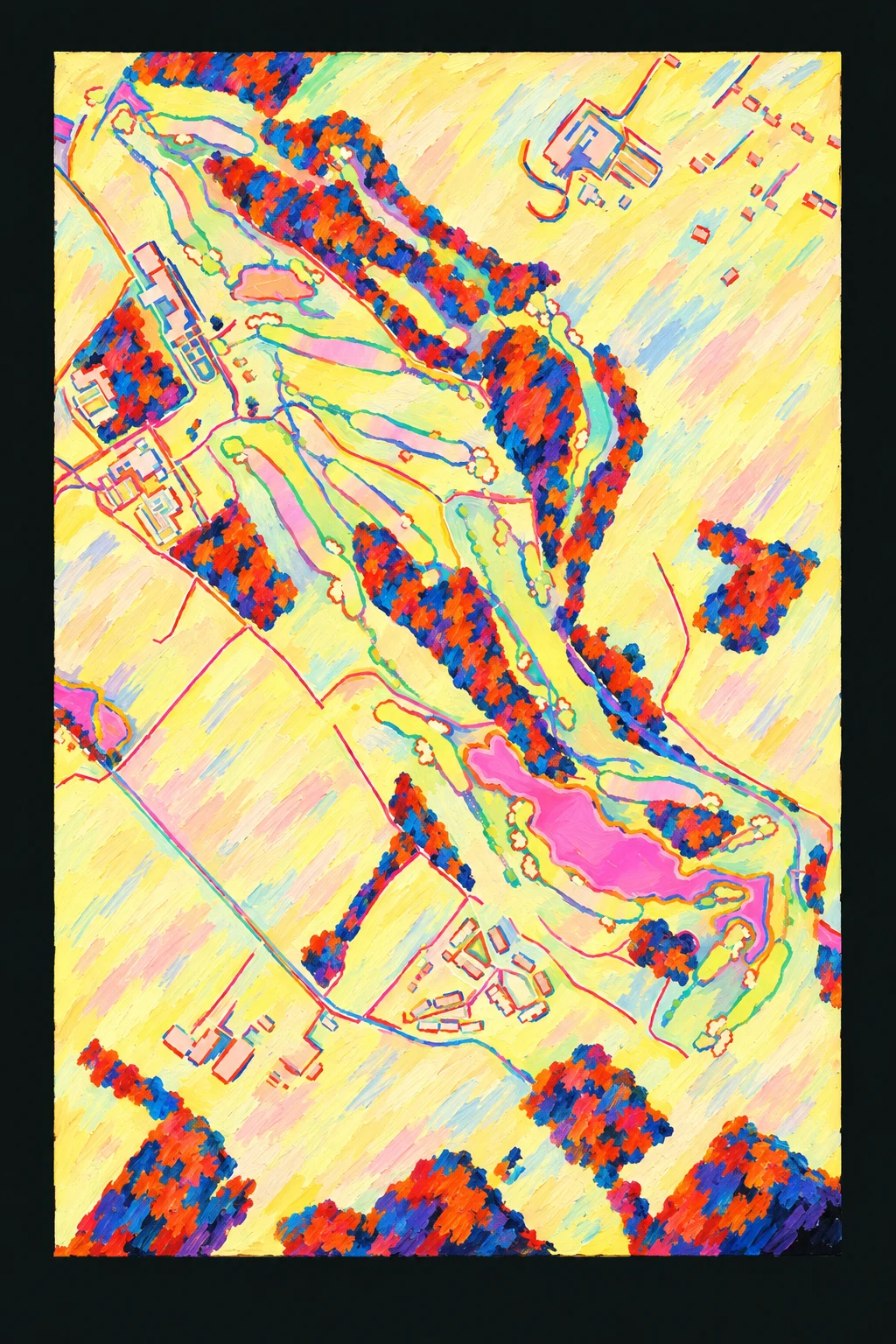
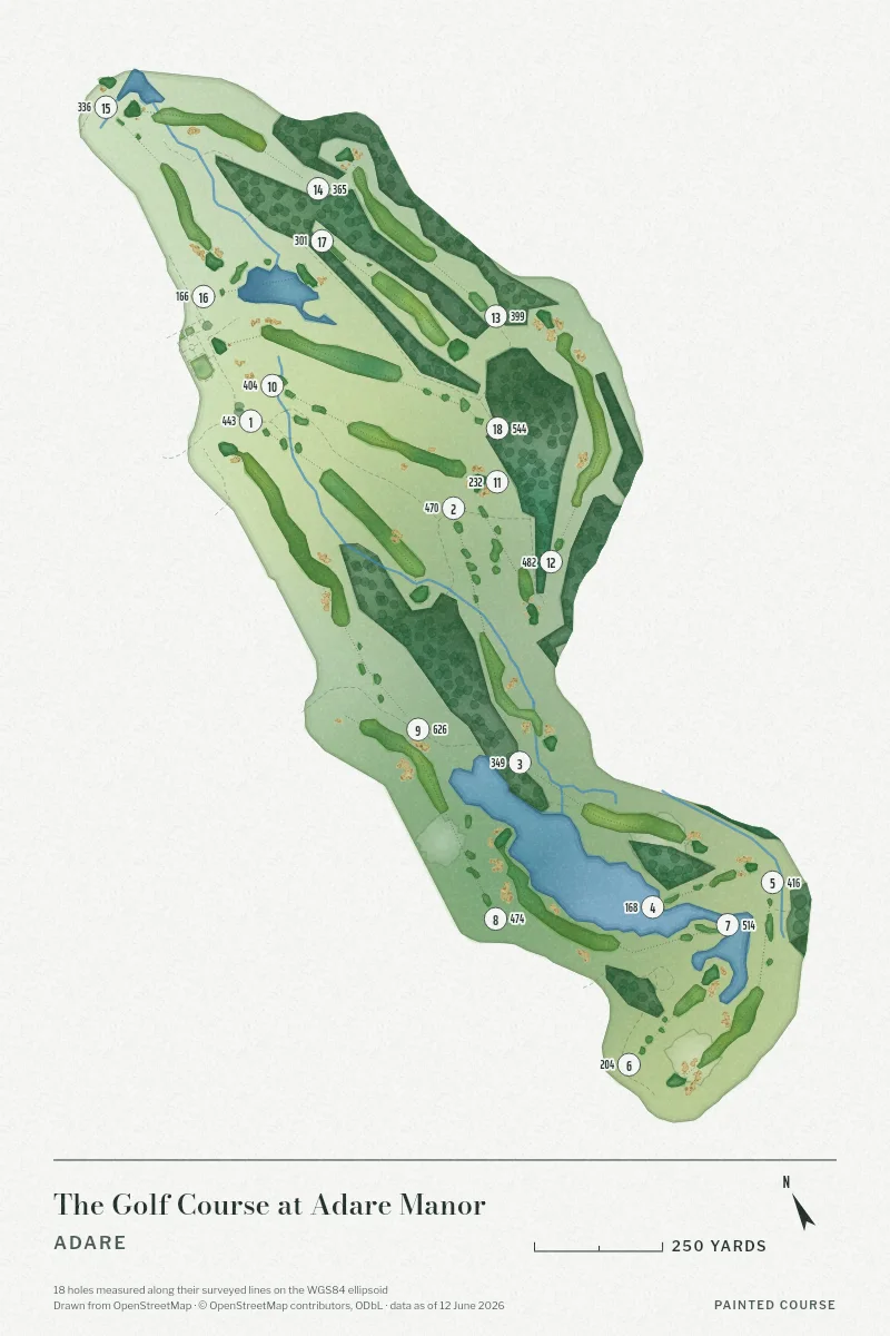
The Fauve Painting

The Golf Course at Adare Manor, Adare, Ireland, seen from above and painted in the Fauve manner after the Fauves of 1905: the routing of its 18 holes, its greens and its bunkers, in paint.
Our Aerial drawing of The Golf Course at Adare Manor, repainted after the Fauves of 1905 as a digital painting made by an image model. Every green and bunker stays where it lies on the course.

Paint Your Hole

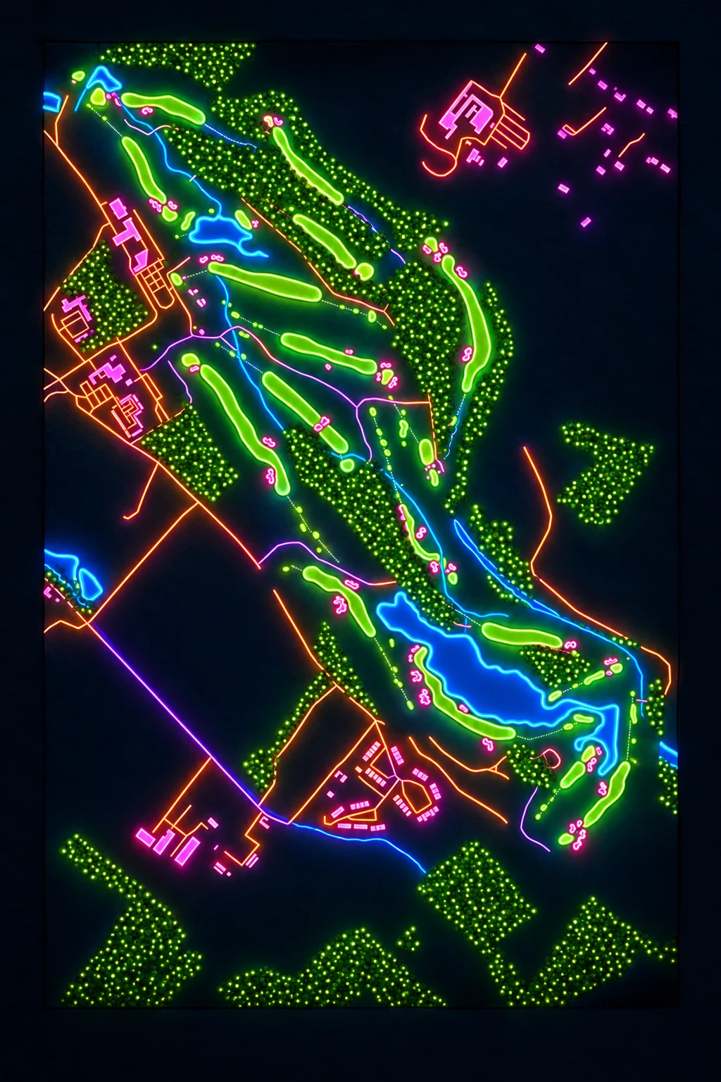
The Neon Painting

The Golf Course at Adare Manor, Adare, Ireland, seen from above and painted in the Neon manner: the routing of its 18 holes, its greens and its bunkers, in paint.
Our Aerial drawing of The Golf Course at Adare Manor, repainted in neon as a digital painting made by an image model. Every green and bunker stays where it lies on the course.

Paint Your Hole

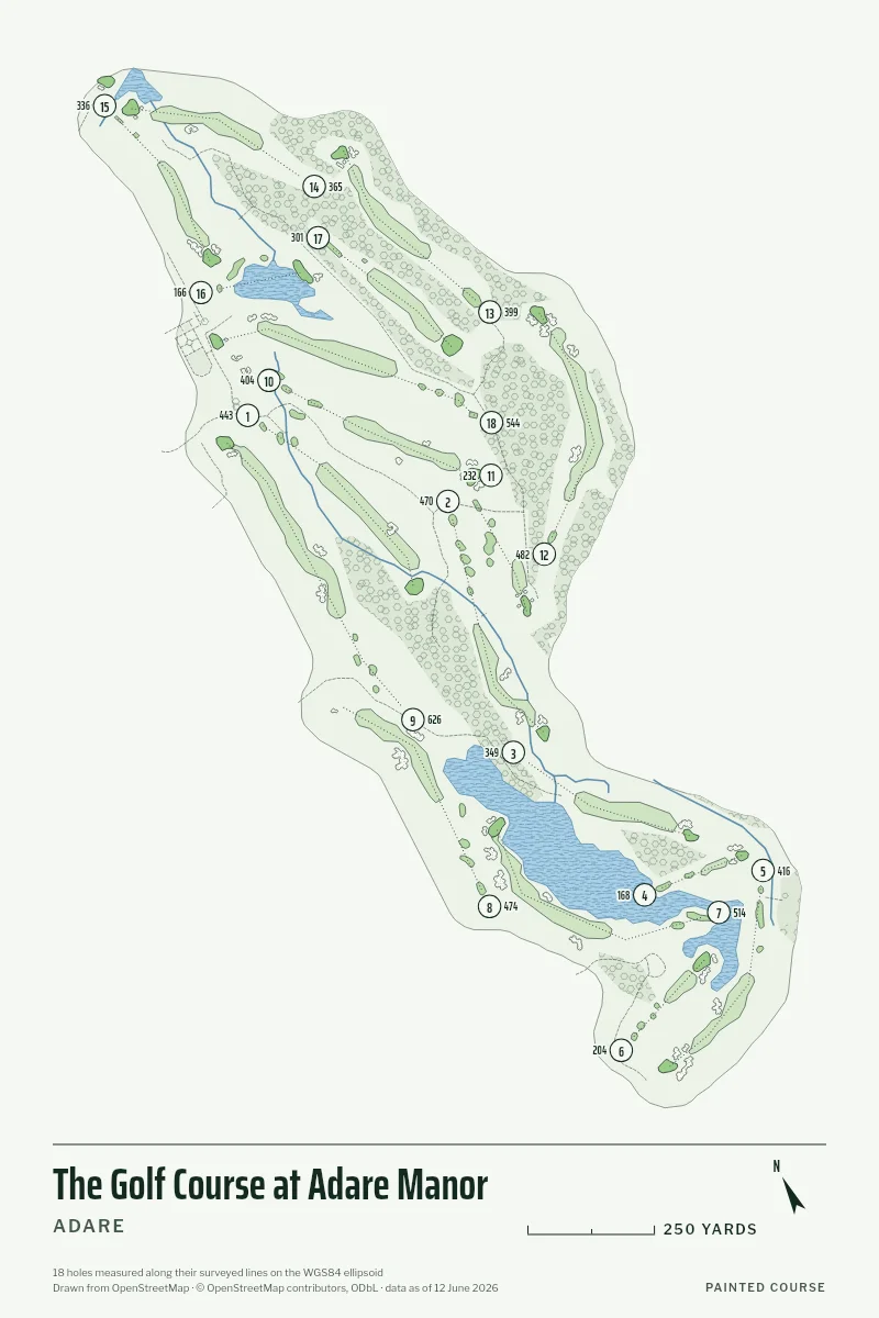
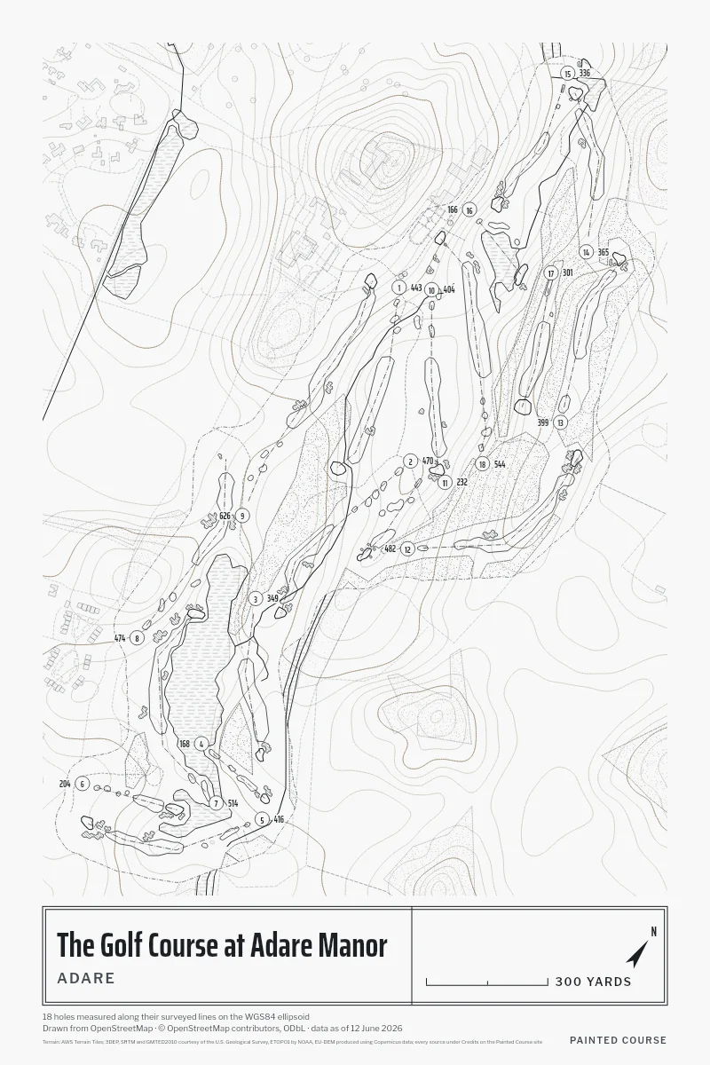
Five Styles, One Survey

The Card, Measured

The Golf Course at Adare Manor: yards along each hole's surveyed line, par where the survey records it
Hole123456789101112131415161718
Yards443470349168416204514474626404232482399365336166301544
Par

A blank par is one the survey doesn't hold; we never guess one.

Painted Course is not affiliated with or endorsed by Adare Manor. The drawing is ours, made from the public survey.

Map data © OpenStreetMap contributors, ODbL; the course's newest edit is 12 June 2026, and this page's snapshot was taken 13 October 2026. The studio asks OpenStreetMap again when you open it, so a print carries the survey as it stands that day.