North Island, New Zealand
Te Arai Links (South)
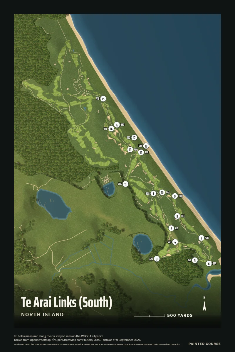
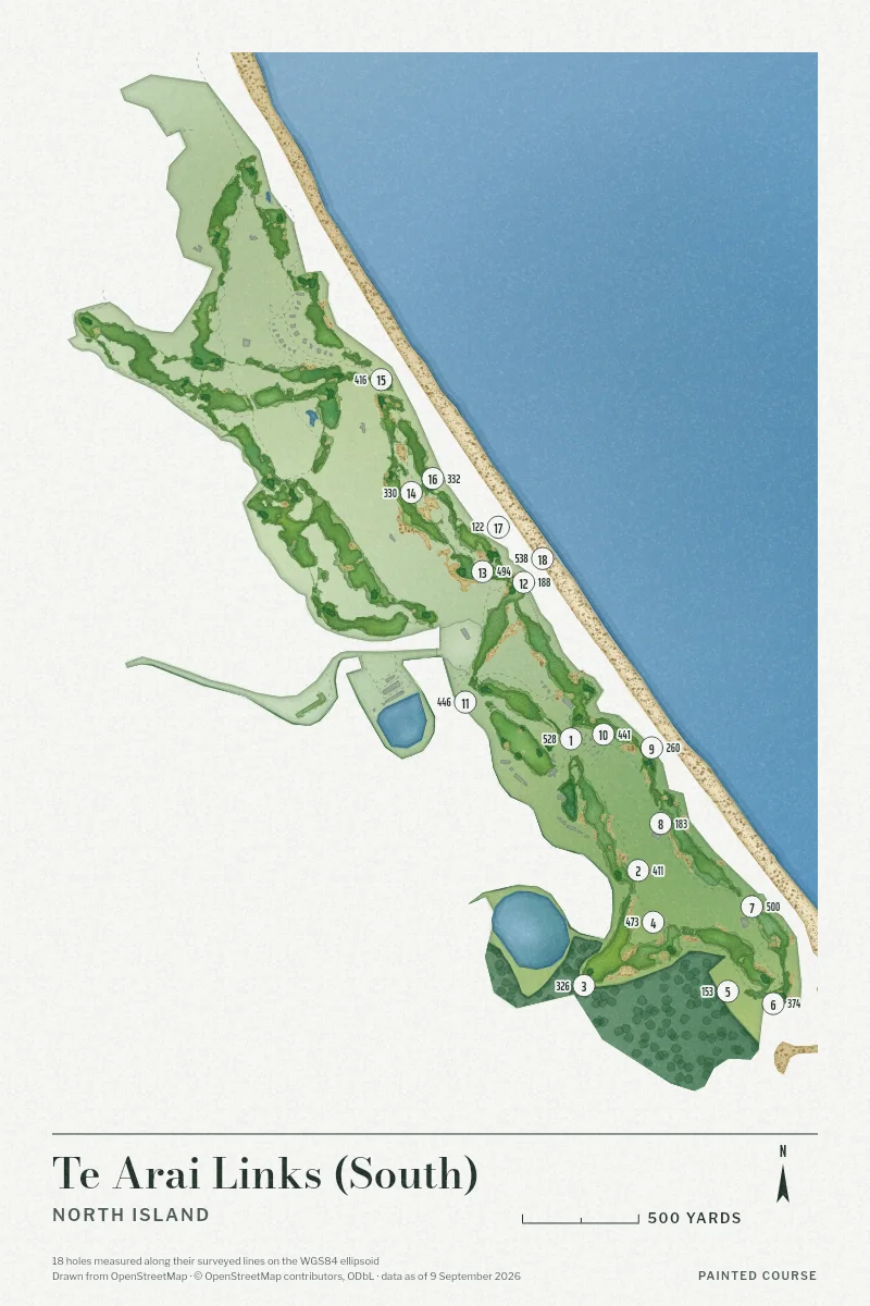
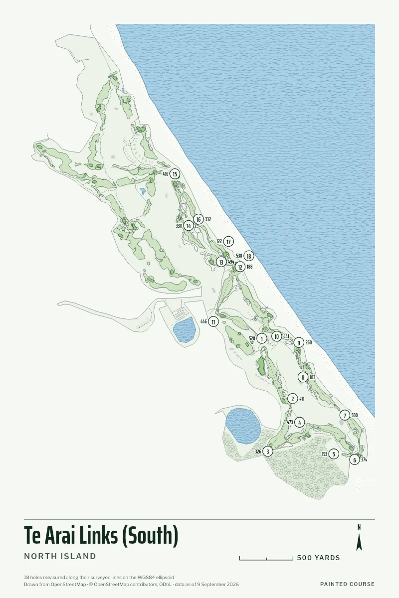
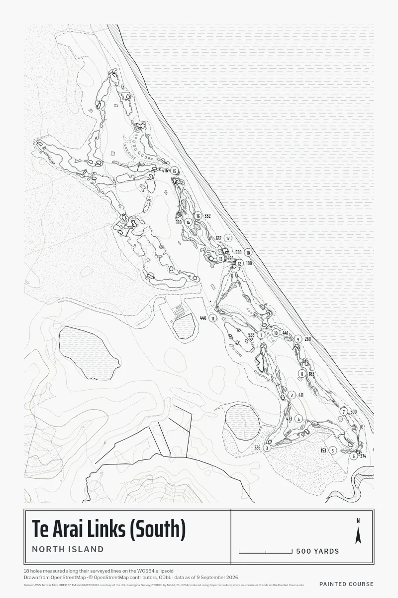
18 holes, par 72, 6,515 yards, from the first tee to the last green. We measured every hole on the map its volunteers drew, so you can hold the print up against your card.
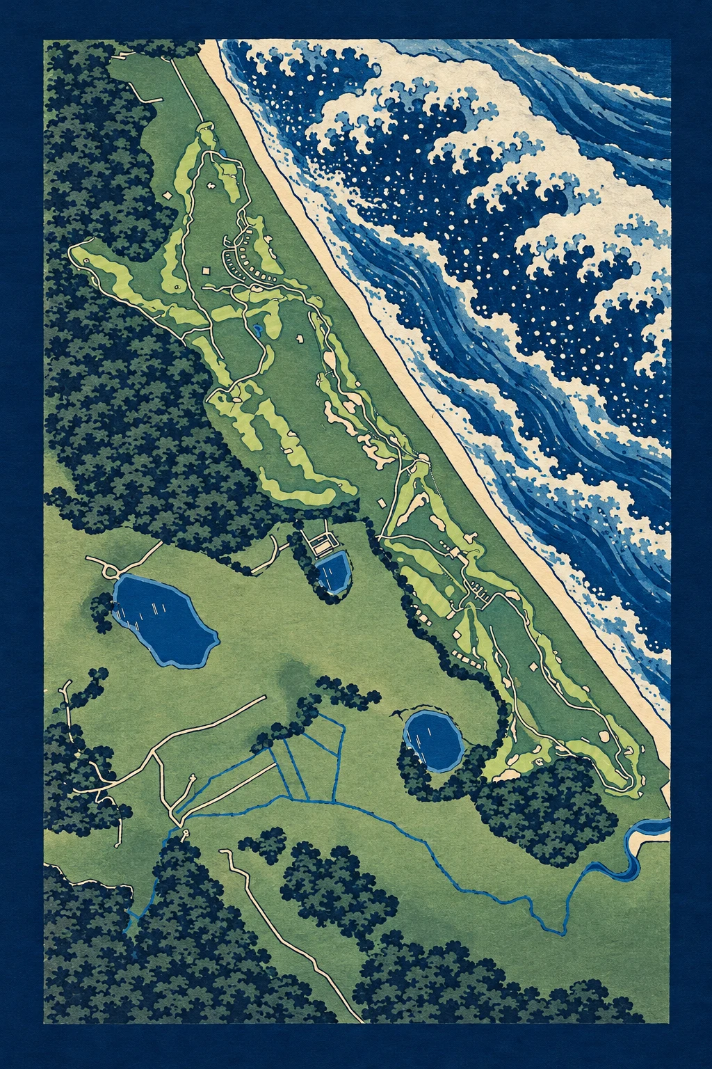
The Woodblock Painting
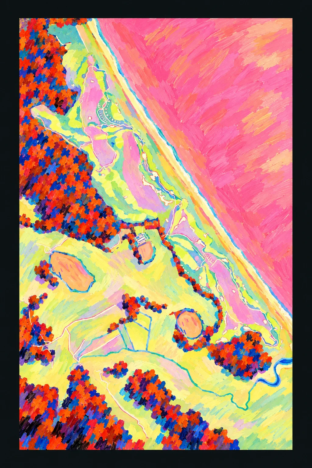
The Fauve Painting
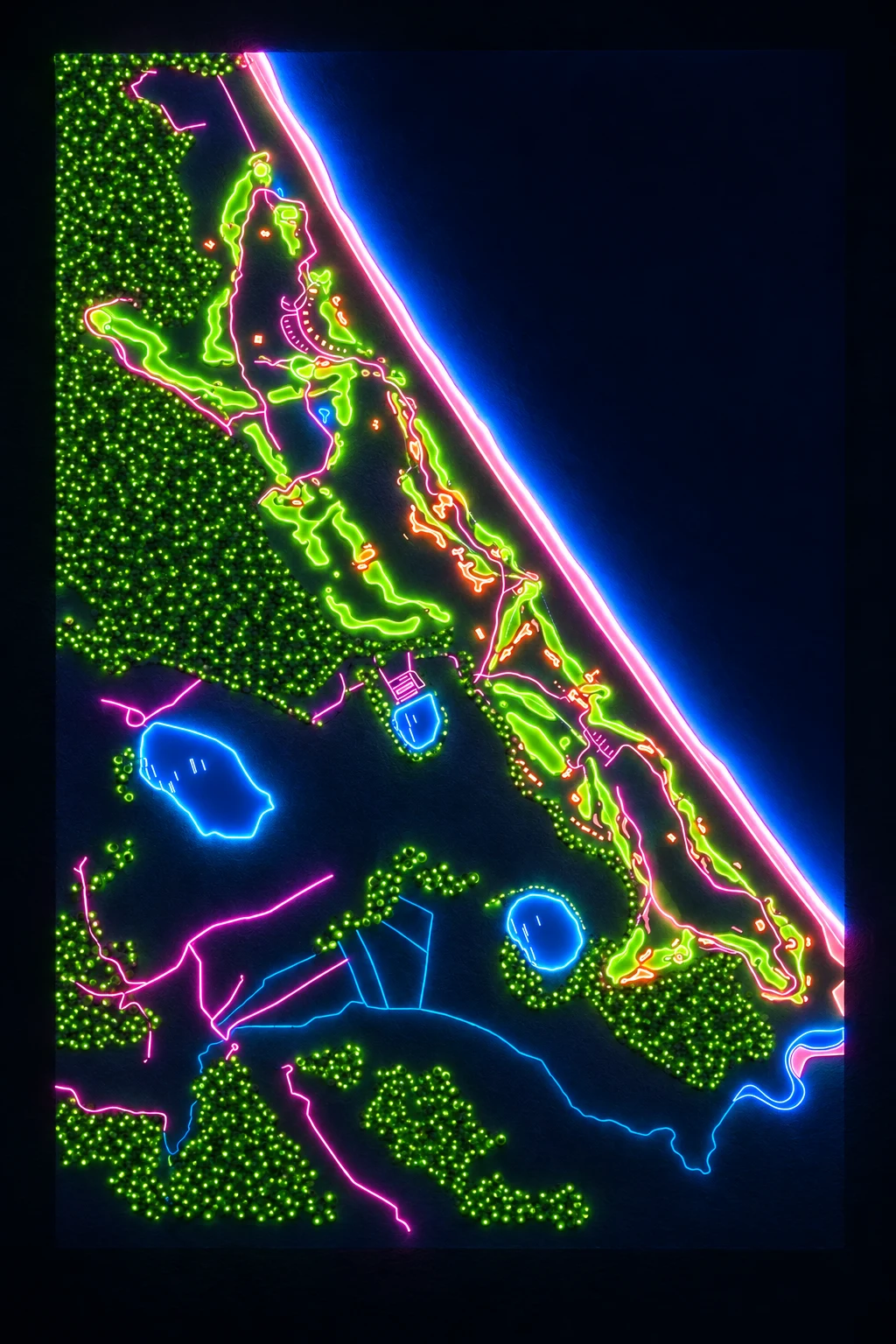
The Neon Painting
Five Styles, One Survey
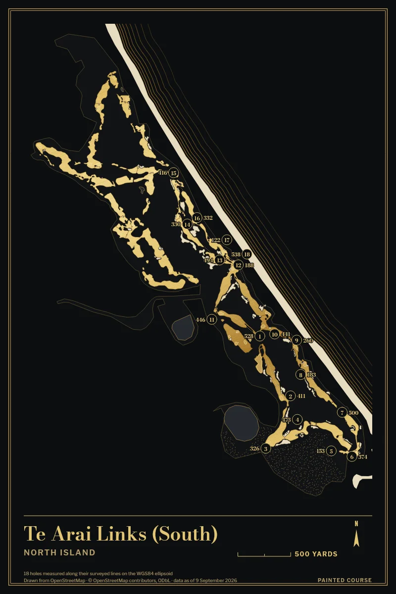
The Card, Measured
| Hole | 1 | 2 | 3 | 4 | 5 | 6 | 7 | 8 | 9 | 10 | 11 | 12 | 13 | 14 | 15 | 16 | 17 | 18 |
|---|---|---|---|---|---|---|---|---|---|---|---|---|---|---|---|---|---|---|
| Yards | 528 | 411 | 326 | 473 | 153 | 374 | 500 | 183 | 260 | 441 | 446 | 188 | 494 | 330 | 416 | 332 | 122 | 538 |
| Par | 5 | 4 | 4 | 4 | 3 | 4 | 5 | 3 | 4 | 4 | 4 | 3 | 5 | 4 | 4 | 4 | 3 | 5 |
A blank par is one the survey doesn't hold; we never guess one.
Painted Course is not affiliated with or endorsed by Te Arai Links. The drawing is ours, made from the public survey.
Map data © OpenStreetMap contributors, ODbL; the course's newest edit is 9 September 2026, and this page's snapshot was taken 12 October 2026. The studio asks OpenStreetMap again when you open it, so a print carries the survey as it stands that day.